Madeira geography and nature of Madeira Island
Geography of the Madeira Archipelago
Madeira is a volcanic island in the Atlantic Ocean, situated about 1000 km to the southwest of Lisbon, Portugal and 700 km to the west of Afrika.
Together with the smaller islands Porto Santo and the uninhabited islands Salvagens and Desertas it makes the Madeira Archipelago, an autonomous province of Portugal.
With nearly 300.000 inhabitants and a surface of 798 km2, Madeira is the largest island of this archipelago.
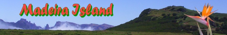
The entire island is in fact no more than the top of a volcano, which explains the steep slopes at the irregular coast line.
There are hardly any sand beaches on Madeira.
These can be found on Porto Santo which has only approximately 3000 inhabitants. From Madeira you can reach this small island by airplane or by boat.
The Desertas are 3 small islands which are inaccessible for the public. Together with a large part of the surrounding ocean, they are a protected area and are used before all as a breeding place for unusual animal and bird species.
The Salvagens are not habitable and are situated closer to the Kanari Islands than to Madeira.
The unique nature of Madeira.
20% of Madeira consists of laurisilva (laurel forest).
This forest developed in the pliocene era and seized large parts of Europe.
With the ice age the forest disappeared from Europe's main continent, yet by the favorable climate of the Atlantic ocean it could survive on Madeira, the Azores and the Kanari islands.
Thereby the area is thousands of years old and has a unique fauna and flora.
The humid laurisilva is situated in the North of Madeira. It contains evergreen laurel-leaved hardwood trees such as the Til, the tropical Vinhatico (Family of the Mimosa) and the Loureiro.
Damp air from the northeast is braked by the high mountains and condensed by the forest, thereby providing soil irrigation and water supply.
Through levadas, man made small canals, the water is transported over and literally through the mountains towards funchal and the by nature dry south of the island.
2/3 of Madeira, including the endemic laurel forest, the high plateau of Paul da Serra, the mountains and the uninhabited islands (Desertas and Salvagens) have become a protected area and were declared a UNESCO World Heritage site in 1999.
Walks along the levadas are the perfect way to explore and experience the laurel forest.
For this we especially recommend a visit to Rabacal and a nature walk through a jungle alike Vegetation towards 25 Fontes (25 Sources) and the Risco Waterfall.
|